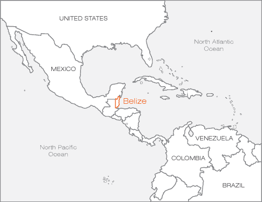
Belize and Central America Map
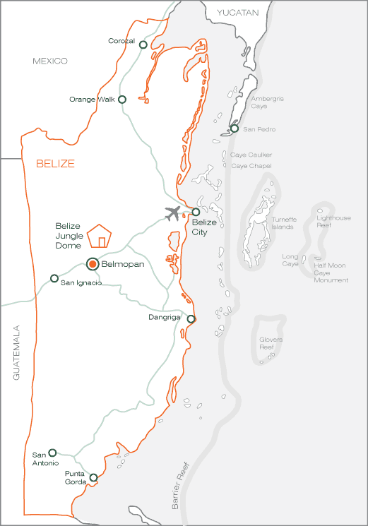
Belize Map
Location on Google Maps
Belize Jungle Dome Driving Directions (approx drive time 1 hour)
There is only one road leading out of the Belize International Airport. Drive this for 1 mile until you reach a junction (gas station on the left). Turn left onto the Northern highway
Follow the Northern Highway for about 10 minutes. (watch for the bumps in the road). When you reach a traffic checkpoint turn left on to the Burrell Boom road. Do not miss this turn off otherwise you will be heading to Mexico!
Follow the Burrell Boom road for about 20 minutes until you reach a roundabout. Take the first right and you are on the Western Highway which takes you all the way to Belmopan. (again watch the bumps in the road when you approach villages)
After driving for 1/2 hour you will approach Belmopan. Ignore the left turn to Belmopan and stay on the Western Highway. You will enter a small village called Roaring Creek, cross a bridge and see a Puma Gas Station on the left
1 mile through Roaring Creek you will see another Gas Station called Westar. Turn right after the Gas Station and follow the sign for Banana Bank. Take this right exit onto a dirt track. You will cross a bridge over the Belize River. Follow this dirt road for 3 miles until you see the Banana Bank Stone Carved sign. Take this right exit and follow the road for another 2 miles
Stay on this road until you approach a soccer field and then you will see the Belize Jungle Dome on your right